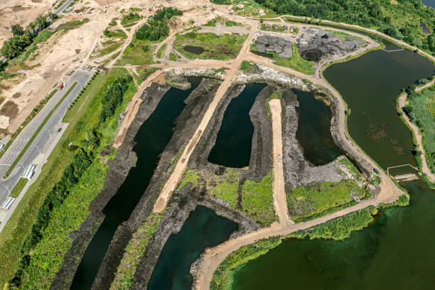
Reality 3-D Modelling with UAV/Drone Surveys
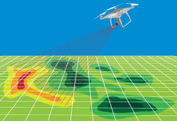
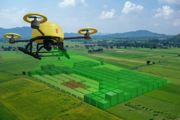
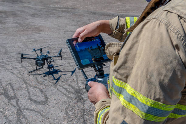
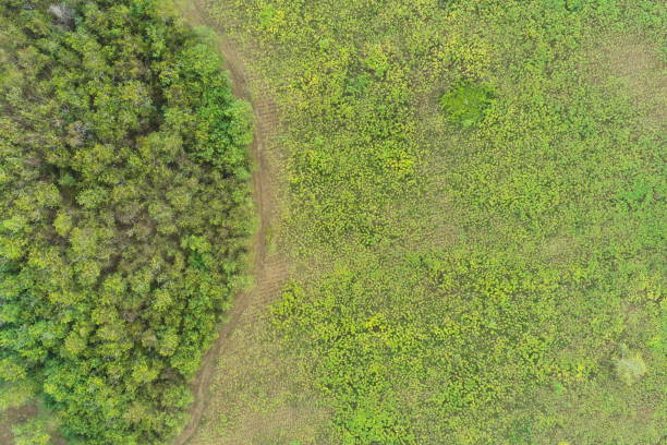
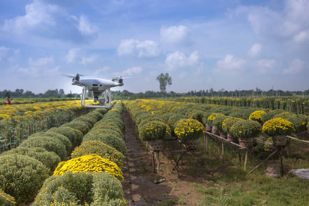
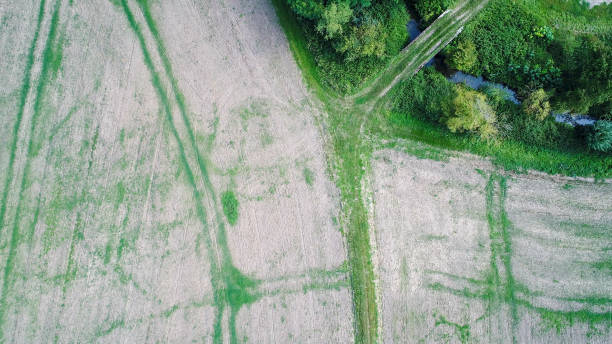
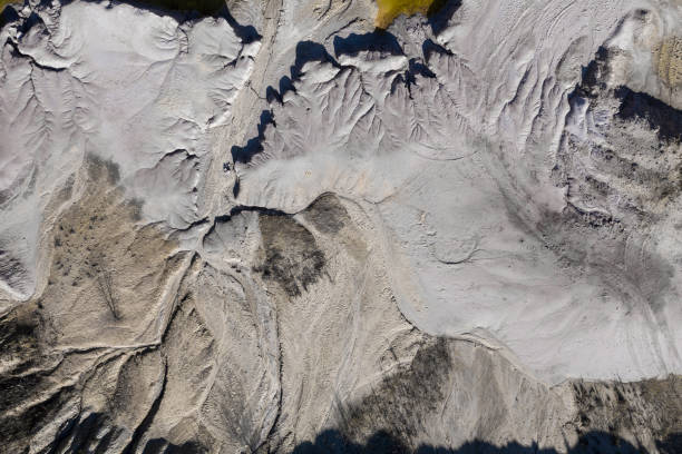
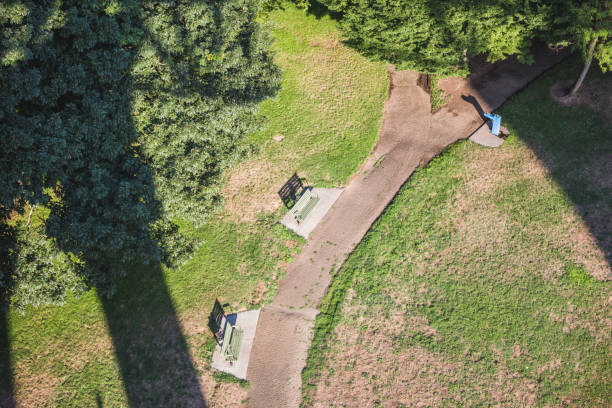
Drones have proven themselves as an efficient platform for the replacement for traditional ground based survey methods. They go beyond surveying, allowing for very high resolution ortho-imagry aerial video captures for a wide variety of applications. By using different types of imaging systems that can be mounted on to them, like:
Optical
LiDAR
Thermal Sensors and Visual Cameras
Multispectral
Hyperspectral
For any inquiries call the
+91 9686551803